Beyond the visible
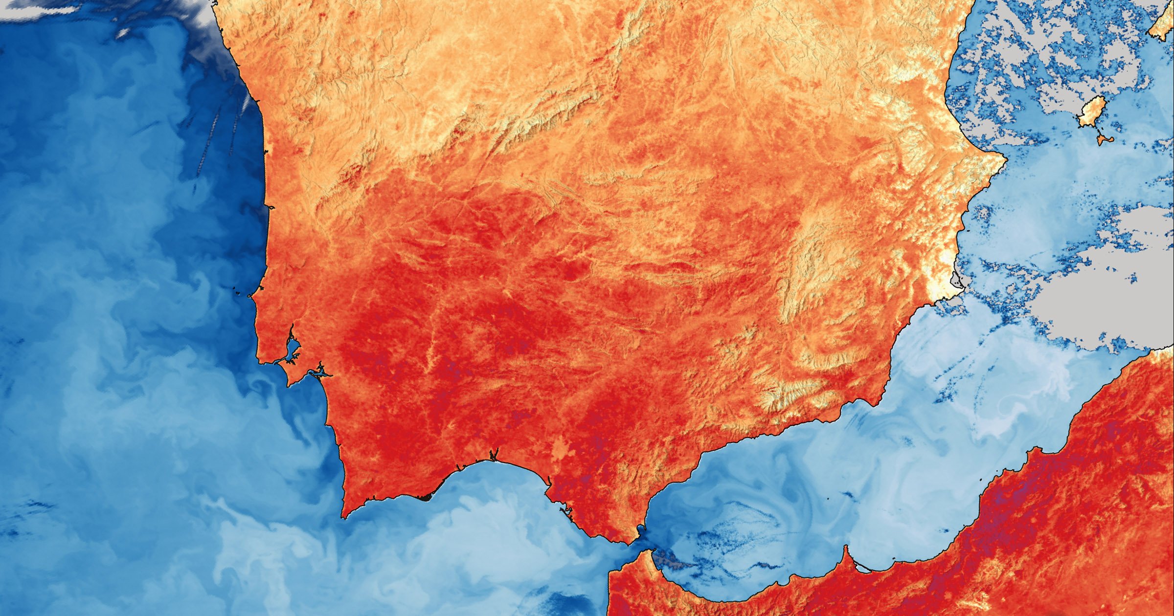
Following up on the first light images of OLCI release, today ESA published the very first thermal and VIS/SWIR images from the Copernicus Sentinel-3C radiometer, SLSTR.
Sentinel-3 systematically measures Earth’s oceans, land, ice and atmosphere, providing data for Copernicus services. The mission’s third satellite was launched on 15 September 2026, carrying four scientific instruments, one of which is the Sea and Land Surface Temperature Radiometer (SLSTR).
This radiometer has nine spectral bands in the visible, shortwave infrared and thermal infrared spectrum. Although the instrument’s primary role is to measure sea- and land-surface temperatures, it also has two dedicated channels for detecting wildfires and monitoring their intensity.
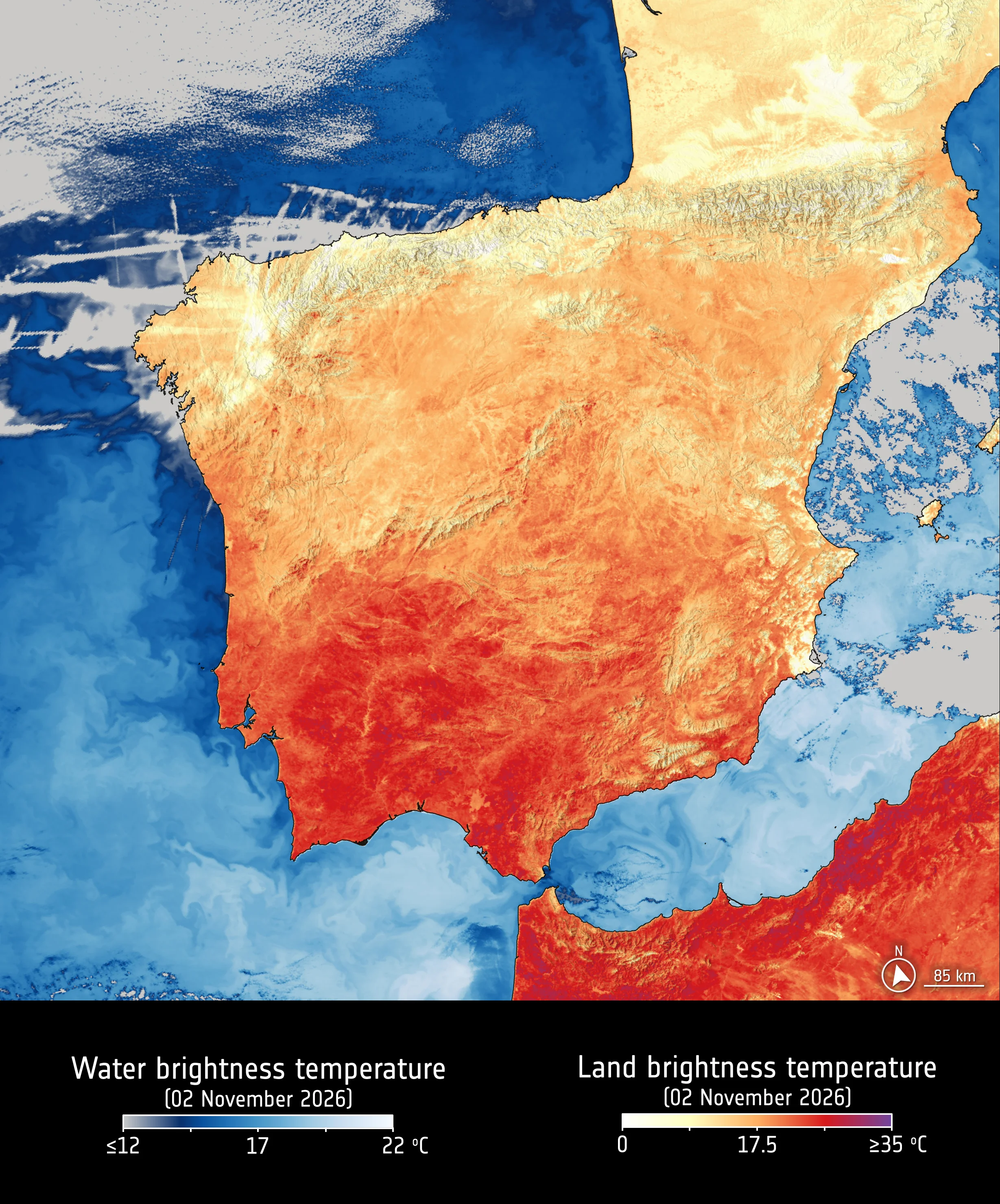
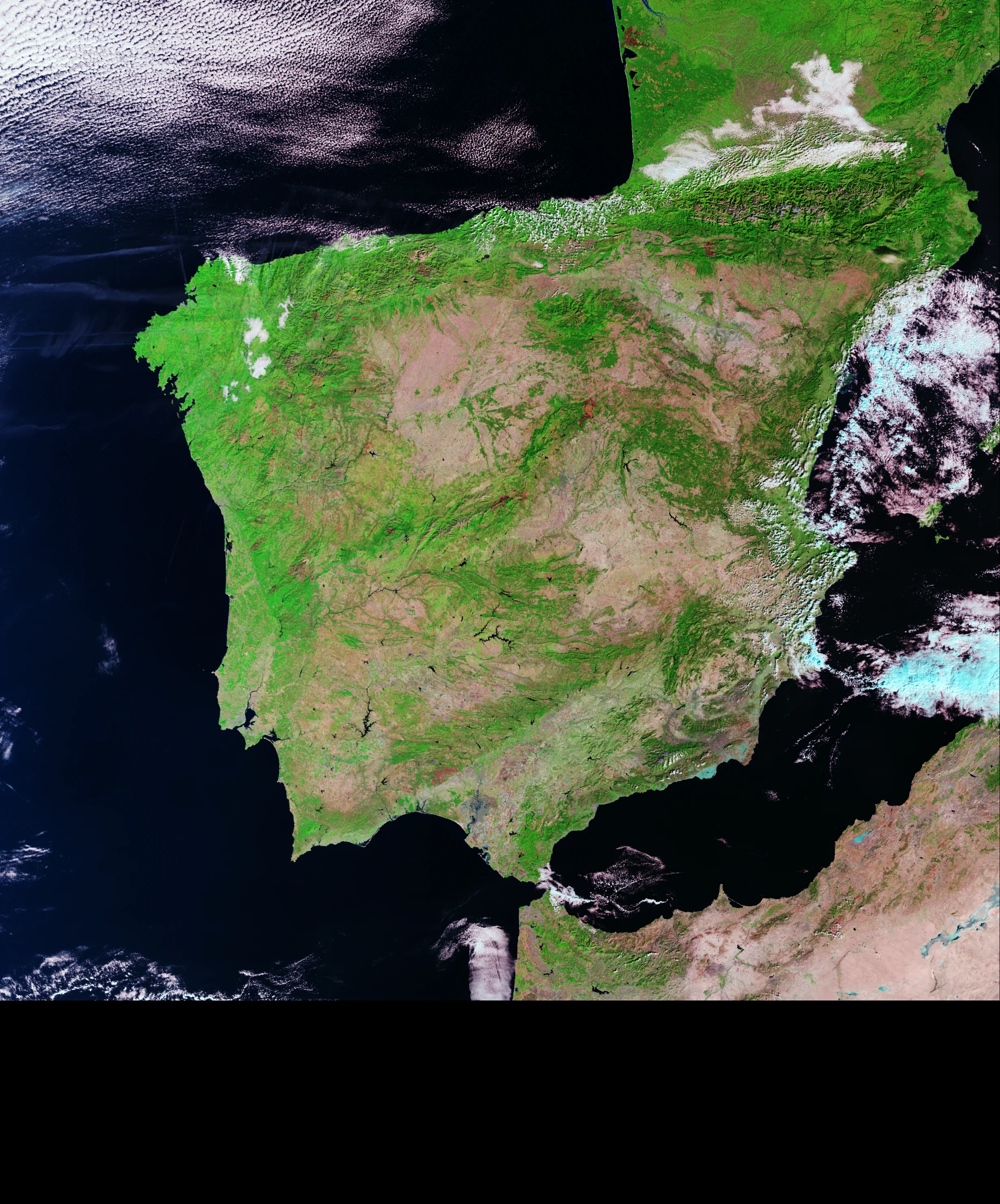
There is lots to see in this first set of images from southwestern Europe. In addition to the temperature variations in the water, look for the contrast between the cooler, dense vegetation and the darker burn scars from recent summer wildfires near Madrid and Bordeaux.
For more context, more images (including a look at Western Australia), and to try out the sliders, visit the publication on ESA’s portal.
Images processed for ESA Earth Observation, with a big thanks to the team back in the office.
Credits: Contains modified Copernicus Sentinel data (2026), processed by ESA