Sentinel-2C delivers
Sentinel-2C delivers
Less than 2 weeks after its launch, the satellite has sent its first images to Earth. Following in the footsteps of its predecessors, this new addition is promising to become another key asset for the Copernicus programme.
Nine years after the launch of Sentinel-2A, there remains no other mission that offers free, high-resolution images (down to 10 meters) with a swath width of 290 kilometers and a revisit time of five days. The equivalent from NASA, Landsat Next, is expected to be launched in 2030.
In keeping with tradition, I received early access to the data catalog and processed the first images.
Among them is an acquisition of the Airport Fire in eastern Los Angeles captured on September 12, 2024, presented in natural color alongside a false-color composite that utilizes the shortwave infrared (SWIR) and near-infrared (NIR) bands from the multispectral imager (MSI).

A second image depicts a data strip extending from Avignon in southern France to the Ebro River Delta in Spain, acquired on September 14, 2024.

It is remarkable that the instrument is already performing exceptionally well even before receiving in-orbit calibration.
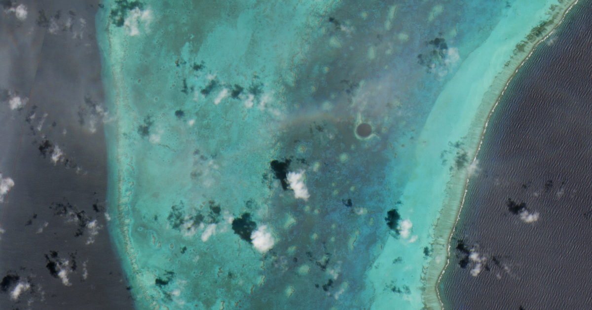
Other images include a spectacular view of the Lighthouse Reef in Belize and a part of Andalusia in Spain. To view these and for more information on the mission, refer to the ESA website here.
This article was also posted on my Linkedin account.
Credits: modified Copernicus Sentinel-2 (2024), processed by ESA
